Rare map, Hong Kong exhibited for the first time
Author:Global Times Time:2022.08.15
Rarely in the early Qing Dynasty, Taiwan's defense map was exhibited for the first time, proved that Taiwan has been a Chinese territory since ancient times!
"Historical issues can often find answers on the ancient maps." Tan Zhaozhang, the chief of the Map Publishing House of China Map Press and the Hong Kong Marco Pooro Maps Museum, recently exhibited the extremely precious version of "The full picture of the unified world of the Qing Dynasty in the Qing Dynasty" Hand -painted solitary books prove that Taiwan has been China's territory since ancient times.
According to the Hong Kong "Sing Tao Daily" reported on the 14th, Tan Zhaozhang recently exhibited two collectibles in the "NFT Future Ancient Map" lecture held in the Hong Kong Rotary Club, namely "The full picture of the world of the Qing Dynasty" hand -painted solitary book. The latter is very precious, because it is a very rare royal hand -painted ancient map of China more than 400 years ago. In addition to remembering the military strategy of China's coastal coastal in the early Qing Dynasty, it is also one of the few strategies of Taiwan's east and west strategic defense. Tan Zhaozhang said that on the ancient map, he can clearly see that Taiwan was identified as the "House" of Daqing. Of course, the proportion and regional shape of ancient hand -drawn maps are very different from the actual geography in terms of proportions and regional shapes, but it also proves that Taiwan has always been part of China.
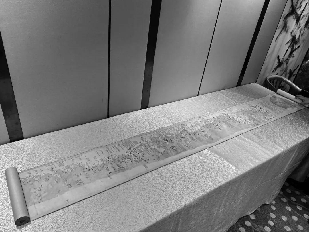
Tan Zhaozhang's "The Full Map of the World" of the Daqing Wannian Nian Nian "is one of the minority pictures of the strategic defense of the Qing Dynasty on both sides of the strait of the Qing Dynasty.
Another 18th -century British navigation records a route from Keelung Town, Taiwan to "Ryukyu Naha Port". Among them, Diaoyu Islands belong to the signs of sailing. Clearly explain the disputes in recent years.
Tan Zhaoyu, who collects about 280,000 ancient maps, is known as the "first person in the world of ancient maps". For more than 20 years, he has been engaged in the collection and research of ancient maps. He has revealed that he is engaged in banking work and has traveled all over the world. He is not familiar with his life. There must be maps in wherever you go. In addition, he is very interested in travel, history and geography since he was a child. Later, he naturally started collecting maps. In recent years, Tan Zhaozhang has presented or borrowed thousands of collections to different majors and research institutions, such as Hong Kong universities and the National Library of Singapore. Major development encourages the next generation of research and development of the map. In September 2010, he showed hundreds of international navigation maps from Britain, France, Germany, and Japan to confirm the sovereignty of the Diaoyu Islands.
The official Weibo of the National Library of China has introduced the "Full Map of the World in the Qing Dynasty" in 2018. This picture does not only have "one picture", but there are many hand -painted revised versions. Therefore, there are a little difference in drawing. There are also wrong words modification. There are three national libraries, which are rewritten for the first engraving of the first seal, the first seal of the first engraving, and the Jiaqing Yellow Chuwen to re -enroll the school engraving in the thirty -two years of Qianlong. Tan Zhaozhang's first exhibition was the hand -painted solitary book during the Shunzhi period of the Qing Dynasty.
Tan Zhaozhang said that the real value of the map is defined by the cultural value and historical value brought to the society. He hopes that through various lectures, let the citizens come into contact with different ancient maps, better understand the areas where they live, and hope to borrow borrowing This encourages the next generation to study and develop the map business to inherit this unique craft.
Source: Global Network
- END -
Sanxingdui No. 8 pit pig nose faucet pillar -shaped pillar out of the pit to reproduce the "tooth" form
Wucheng Hanjian, which was unearthed in Zhejiang for the first time, was launched in September
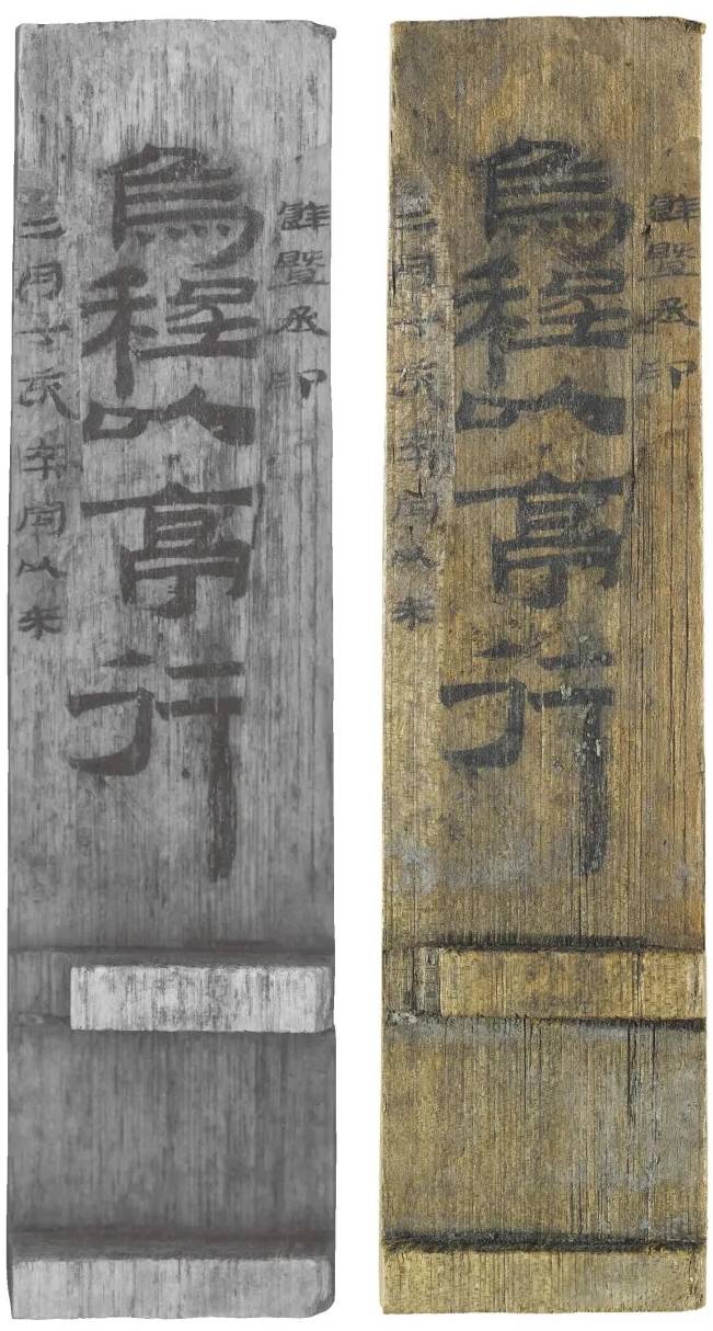
Zhejiang News Client reporter Li JiaohuanWu Cheng Yi Pavilion.The first large numb...