What is the distinction between North and South people?Dumplings or tofu brain?neither!Actually it!
Author:Wudi County Rong Media Center Time:2022.09.07
In the geographical class of middle school, we all learned: "The Qinling Huaihe River is the north -south boundary of China."
But if you think it is a clear "line", it is too low to estimate the complexity of geography.
01
Qinling is a "face"
Let's talk about Qinling first. Qinling in a broad sense refers to the huge mountains that are running across the east and west in central China. From the western Gansu Province, the Gansu Province and the Kunlun Mountains are divided into Shaanxi.
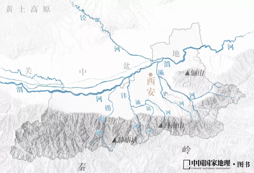
Demonstration diagram of Qinling Location. Picture source: paprika
Qinling is punished at the junction of Shaanxi and Henan, and the north branch is Laoshan, and the veins are extended east along the Yellow River bank. A small part of the south of the mountain is extended from Shaanxi to Yixian County, Hubei, with a total length of 1,600 kilometers, and tens of kilometers to two or three hundred kilometers north -south. The area is magnificent and magnificent.
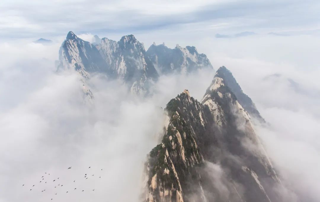
The main peak of the Qinling Mountains Taibai Mountain.
Gallery copyright picture, not authorized reprint
Qinling in the narrow sense refers to the mountains in the middle of the Qinling Mountains in Shaanxi Province. It is also the main body of Qinling. Its east to west is about 400-500 kilometers long, and the north-south is 100-200 kilometers wide. The altitude is generally 2000-3000 meters. 3767 meters, the highest peak in the central and eastern part of China, the mountains are majestic.
Even the narrow Qinling Mountains are so wide by one or two hundred kilometers, so where is the boundary between the north and south?
Generally speaking, this important boundary line should be located in the ridge, which can ensure the integrity of vertical and natural bands on both sides of the mountain. But embarrassing is that Qinling does not have a clear ridge line. Even if the highest point of the high altitude peak is connected, it is not considered a "line", which is similar to a "net".
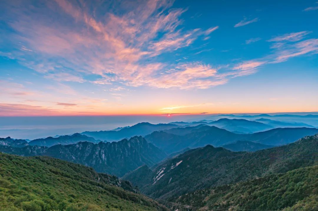
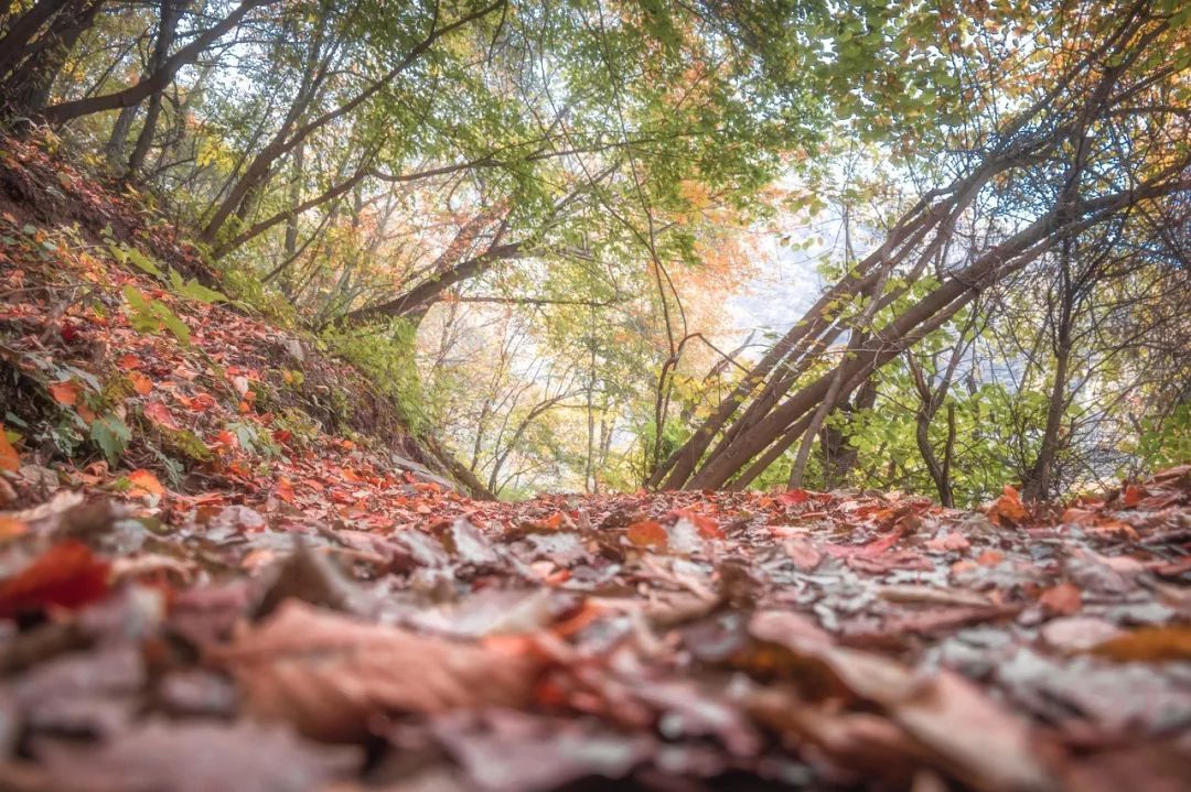
The scenery of Qinling Autumn.
Gallery copyright picture, not authorized reprint
Qinling Mountain is complicated, and the geography community has never stopped.
Some people advocate painting the north -south boundary line at the high line of 800 meters in the south slope. Because the temperature increases at the temperature, the typical plants of the subtropical part of the subtropical are not seen here. The north should start from here. Some people advocate that the north -south boundary line is 700 meters north slope, because the warm and temperature belt is over, and then it should be counted as a mountain climate.
Each view has its scientific basis, which is why the real boundary has been confusing. Why is the burden of dividing north and south falling on Qinling?
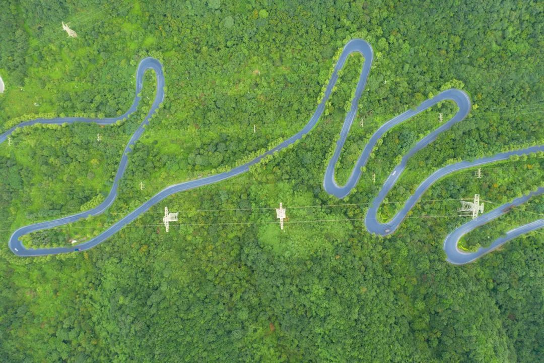
Qinling Panshan Highway.
Gallery copyright picture, not authorized reprint
Qinling happened to grow at a critical point.
The Qinling Mountains is in an important part of the central mountain zone on the geological map of China. Not only are there many geological periods, but also more geological phenomena such as magma activity, geological deformation, rock deterioration, and new ore formation. The steep northern slope is everywhere.
Qinling is a natural barrier. In the summer, the moist marine airflow is not easy to penetrate the northwest, and the northern climate is dry; the south invasion of the cold air in winter has caused the Hanzhong Basin and the Sichuan basin to be hit with cold air.
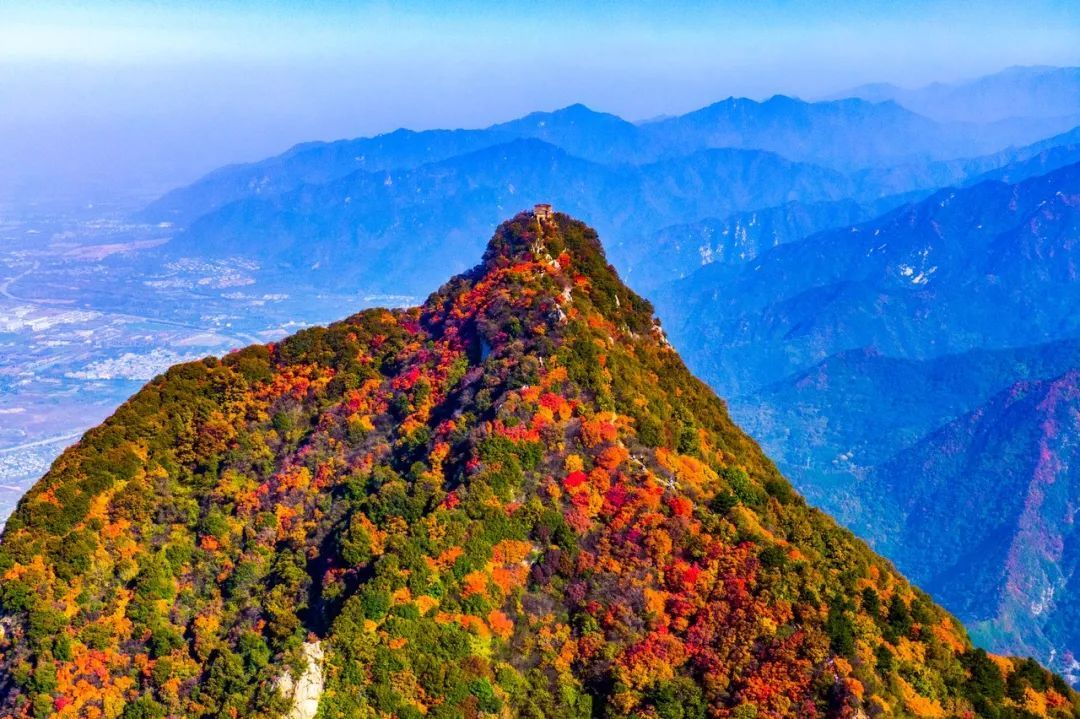
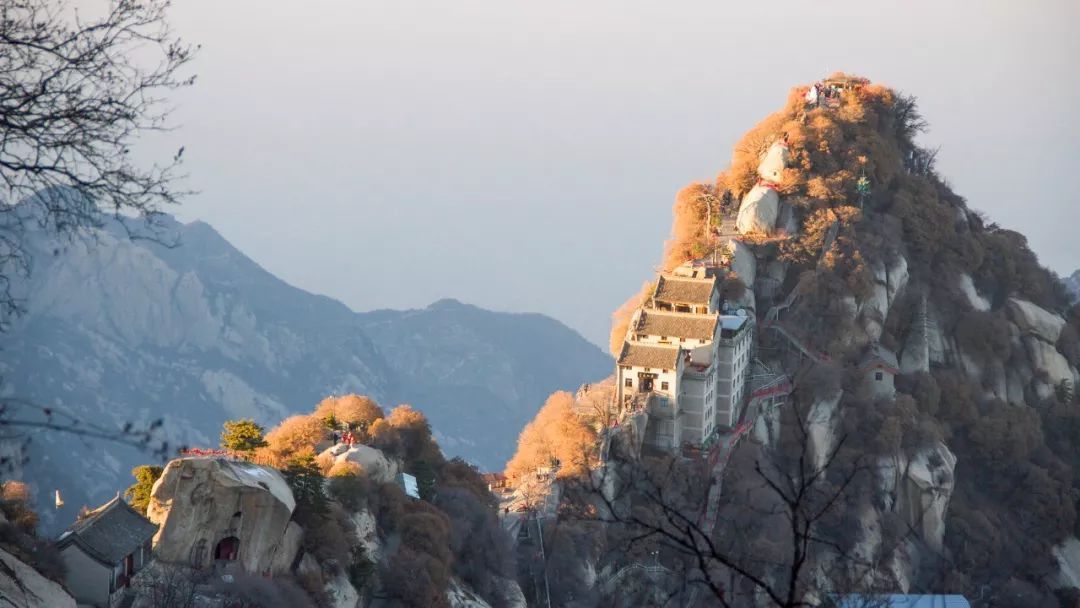
Huashan is part of the Qinling Mountains.
Gallery copyright picture, not authorized reprint
Due to the blockage of water vapor, the average precipitation of the Qinling South slope is more than 800 mm, and the average precipitation of the north slope is less than 800 mm. The northern slope of the Qinling Mountains is relatively cold and dry, and the south slope is warm and humid, becoming an important division of warm and semi -humid climate zone and subtropical monsoon humid climate zone.
The south slope of the Qinling Mountains is divided into five climate bands of subtropical, warm temperate, temperate, cold temperate, and sub -cold belt; the north slope has four climates: warm temperate, temperate, cold temperate, and sub -cold belt. The temperature difference between the north-south slope is very large and can reach 6-7 degrees Celsius.
Qinling is also a habitat for many rare wild animals. Special Qinling Grand Panda is the northernmost boundary distributed by Chinese pandas, and it is also the area with the highest density of wild giant pandas in the world.

Sichuan golden monkey in Qinling.
Gallery copyright picture, not authorized reprint
The last world treasure bird Zhu Xi was discovered by scientists at Yangxian County in the middle of Qinling. After more than 30 years of local protection and artificial reproduction, the number of populations has been nearly 2,000. Qinling has become its excellent habitat. Qinling Golden Monkey is also widely distributed on both sides of the north and south.
Qinling's largest wild animal Qinling Antelope can be seen everywhere. Big pandas, golden monkeys, antelopes, and Zhu Xi are known as the "four major national treasures" of the Qinling Mountains.
02
Huaihe is so "tangled"
Qinling is a huge mountain range, which has a blocking effect on the airflow. As a river on the plain, why can it become the north and south boundary?
On the sides of the Huaihe River, the natural vegetation and crops are not very different. But walking a few hundred kilometers north and south, the difference is obvious. For example, Zhengzhou on the south side of the Huaihe River and the north side of the Huaihe River has a very clear division in the south and north.
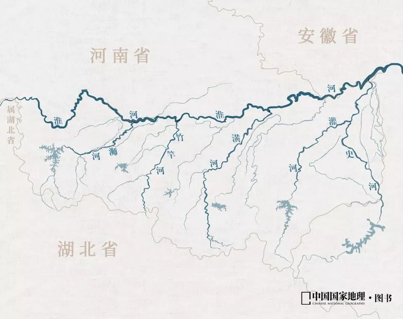
Part of the Huaihe River Basin. Picture source: paprika
The people on both sides of the Huaihe River called its nickname "Bad River", which was a bit bitter.
Because the water of this river is too serious, from 1400 to 1900 AD, the average flood occurred more than 70 times per 100 years. The biggest rainstorm in the meteorological record of mainland my country was in the upper reaches of the Huaihe River in 1975. Linzhuang in the center of heavy rain reached 1605 mm in 3 days.
Since the Huaihe River is a north -south boundary, the tributary in its basin naturally has the characteristics of both sides of the north and south. The rainfall in the northern region is large, heavy rain concentrated, and heavy rain and strong intensity in the southern region. It does not fall. In the sense of disaster science, the intersection of natural zones is often a high incidence of natural disasters. Therefore, the Huaihe River is particularly prone to floods. The sunset on the Huaihe River.
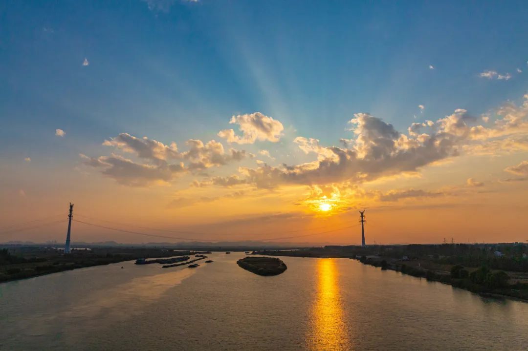
Gallery copyright picture, not authorized reprint
What is even more worrying is that the Huaihe River has no downstream.
In order to prevent the invasion of the Golden Bing's invasion, the Southern Song Dynasty opened the South embankment of the Yellow River. Instead of blocking the Jin Bing, he instead let the Yellow River capture the entrance of the Huaihe River. The Huaihe River was aggrieved, and the water was even more serious.
After the Yellow River changed back to the Bohai Estuary, the sediment left was still in the lower reaches of the Huaihe River, making it difficult to enter the sea. The Huaihe River crossed the huge Hongze Lake, and entered the sea from the artificial canal and a few small water flow.
Fishing boats on the Huaihe River.
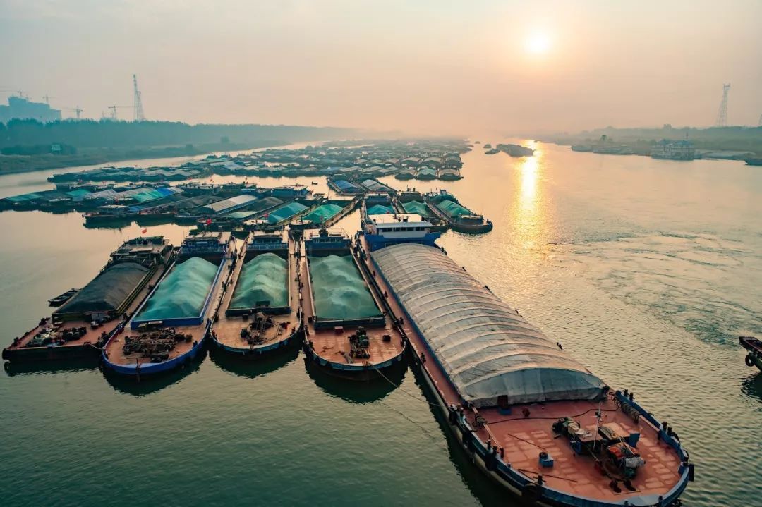
Gallery copyright picture, not authorized reprint
The artificial dams of Hongze Lake completely blocked the only exit of the Huaihe River, and the water of the river could only flow to the artificially excavated northern Jiangsu irrigation canal and canal. The geographical community also had to treat the northern Jiangsu irrigation general channel as the lower reaches of the Huaihe River, and it was identified as the boundary line of north and south, although its direction was not complete.
03
How do you divide it?
You may have to ask, since the Qinling Huaihe River is so chaotic, is it really appropriate to treat it as the north and south divisions?
In fact, this line is already the most accurate division. Crossing the vast Qinling Mountains, you can see the vegetation differences on both sides. It is suitable for plants such as oranges that grow in the south. It almost no longer appears north of Qinling. Although the two sides of the Huaihe River are not much different from the vegetation, from here to Yan Shen from the north and south, you can see the increasing difference.
The famous Huashan is part of the Qinling Mountains.
Gallery copyright picture, not authorized reprint
The two most important rivers in the north and south of my country are the Yangtze River and the Yellow River, respectively. The largest tributary of the Yellow River is from Qinling, with a total length of more than 800 kilometers. After entering Shaanxi from Gansu, the Guanzhong Plain formed by the Weihe River was called "eight hundred miles of Qinchuan".
The two major tributaries in the Yangtze River also originated from the Qinling Mountains. The Han River formed the Hanzhong Basin and the stenosis of the east of the Han Dynasty. It is known as the northwest of the northwest.
Chi Hai on the main peak of Qinling Mountains is the Bingdou Lake formed by the Fourth Glacier activity period.
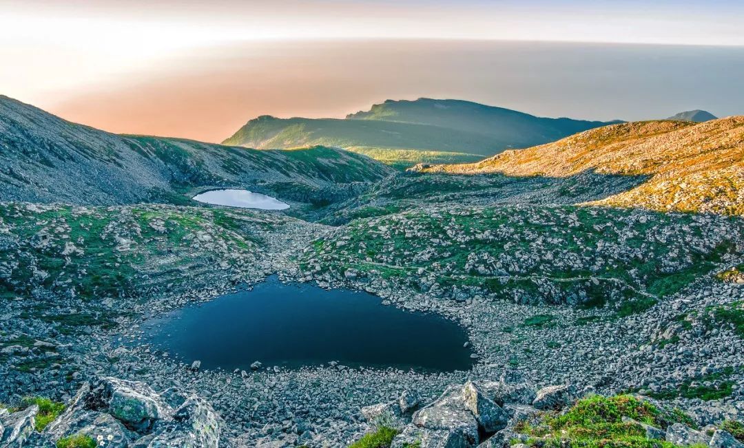
Gallery copyright picture, not authorized reprint
The Hanjiang and Jialing River in the south of Qinling Mountains Due to the lush vegetation on both sides of the strait, weak land erosion, and small sand content, the water is blue, clear and transparent. Therefore, the water from the South Water to the Hanjiang River to Beijing to Beijing, which has become the water source area of Beijing. However, the Weihe River north of Qinling rolling rolling, which is better than the Yellow River. This is a clear difference in the north and south rivers of Qinling.
Qinling is not only the dividing line of the north -south climate, but also the transitional zone of the east and ancient northern borders in the world of animals in the world. The complex and changeable, distinctive geological features and climate types have bred rich and diverse wild animal and plant resources. The biodiversity is extremely rich and is known as the "biological gene library".
Qinling vegetation.
Gallery copyright picture, not authorized reprint
From the perspective of vegetation, the southern slope of the Qinling Mountains is based on the mixed leaf broad leaves and evergreens of evergreen, and there are evergreen, deciduous broad -leaf mixed forests, chloroplastment broad -leaved forests, coniferous broad -leaved mixed forests and coniferous forests.
The southern slope is below 800 meters of the subtropical forest vegetation landscape; the northern slope is affected by comprehensive factors such as altitude, climate, soil, etc. The vegetation landscape is obviously vertically distributed. And the alpine thyroid meadow belt, which constitutes a typical warm and warm mountain forest vegetation landscape. Therefore, Qinling is the boundary between warm temperate and North Asia tropical.
The broad Qinling Mountains run through the east and west of Shaanxi, forming the division of the north -south climate, soil, vegetation, and animals. The north and the south animals and plants have now become the end of the crossbow, but some animals and plants can continue to extend to a certain extent to the south to north, so that Qinling becomes more to become more. The gathering of the ingredients of the plantation of the plant and the plant shows a certain transitionality.
Clouds on the Qinling Mountains.
Gallery copyright picture, not authorized reprint
Qinling is not only between the north and south in the geographical sense, but also a high wall in the hearts of people.
Han Yu was degraded, passing the Qinling Mountains, facing the vast mountains, and sent out the emotion of "what is the Yunheng Qinling family, the snow is not good in the blue and the horse". Bai Juyi was degraded in Jiangzhou, and writing poems to his friend Yuan Yan, which is difficult to cover the sorrow of Qinling Xiaoshe: "Blue Bridge Chunxuejun returns to the day, when the Qinling Autumn wind is gone." Division of desolate and degraded.
Although the Huaihe River is not like a barrier like Qinling, it can also see the differences between the river on both sides of the river. It is not as good as Qinling on the north -south boundary line, and it is more like a lucky man. It happens to be born on the edge of the natural belt.
Huaihe Highway Bridge, Jiefang Road, Bengbu City, Anhui Province.
Along the Huaihe River is an allele of the average temperature of 0 degrees Celsius in January. The river lake north of the Huaihe River may freeze, and the south will not freeze. In the division of the north and south of the rain belt, the Huaihe River is also the dividing line of spring rain and dry and spring dry and summer rain.
In terms of vegetation, the Huaihe River is also the division of broad -leaved forests and fallen leaves. But these lines are not a precise re -coincidence line, but are scattered in areas of dozens or even hundreds of kilometers north and south of the Huaihe River.
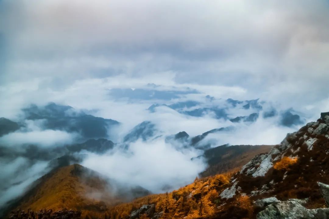
The sea of clouds during the sunset of Qinling.
Gallery copyright picture, not authorized reprint
In fact, as long as it is not attached to a "line", but instead treats the Qinling Huaihe River as a wider buffer belt, the problem of the north -south boundary line will be solved.And in recent decades, global climate change has obvious, which has also led to the offset of some equivalent lines.At the beginning of liberation, when the meteorological statistics were made, the temperature line of the equity at 0 ° C was basically coincided with the Qinling Huaihe River. Now the climate warms up. The temperature line of the equity in January 0 ° C has significantly shifted north.Perhaps, after a few years, the division of the "North and South" will be moved to our unimaginable position now.
Source: Science Popularization China

- END -
Night Reading: Age is never the threshold for you to chase your dreams

Text/Huarui | Picture/Huarui© © © ©01It's been a long time, have you lived rec...
"China Archaeological Conference" uses "public archeology" to set up the bridge of archeology and the public
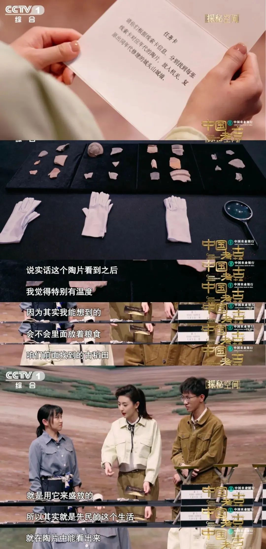
In recent years, the public's enthusiasm for cultural relics and ruins has become ...