Typhoon "Sanda" latest live actual situation: On the 31st, Qingyanwei has appeared local heavy rain. There is still rain in the Peninsula area.
Author:Poster news Time:2022.07.31
Volkswagen · Poster Journalist Liang Wen Jinan Report
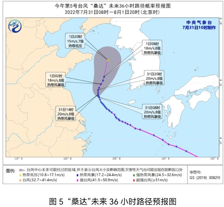
At 10 o'clock on July 31st, the Shandong Provincial Meteorological Observatory released the latest actual and influencing forecast of Typhoon Sanda No. 5. Typhoon "Sanda" (tropical storm) has entered the Yellow Sea this year. At 10:00 on the 31st, the center is located on the sea about 270 kilometers east of Jiangsu Province (33.8 degrees north latitude and 123.2 degrees east longitude). The maximum wind power is 8, and the central air pressure is 995 Baipa.
Affected by "Sanda", at 0-10 on the 31st, small rain in Qingdao, Weihai and Yantai area appeared in local heavy rain. The maximum precipitation in Qingdao Moyushan Primary School was 38.2 mm; The maximum gust of the city's South Dagong Island is 7 (16.5 meters/s) and appeared at 8.24.
It is expected that the "Sanda" in the future will slowly move north at a rate of 5 to 10 kilometers per hour, and the intensity will not change much. On the night of the 31st, it will start to move north to the east. Tropical low pressure.
Affected by it, from the afternoon of the 31st to August 1st, the middle of the Yellow Sea, the northern part of the Yellow Sea, and the northeast of the Bohai Strait level 6-7 gusts 8 gusts; there were small rain or heavy rain in the Peninsula area.
- END -
"Fire Fire Article" must be practiced "White Bar in Langli"

Reporter Zhang Zhili Correspondent Wang XudongThis system's swimming skills traini...
Shanghai police report!
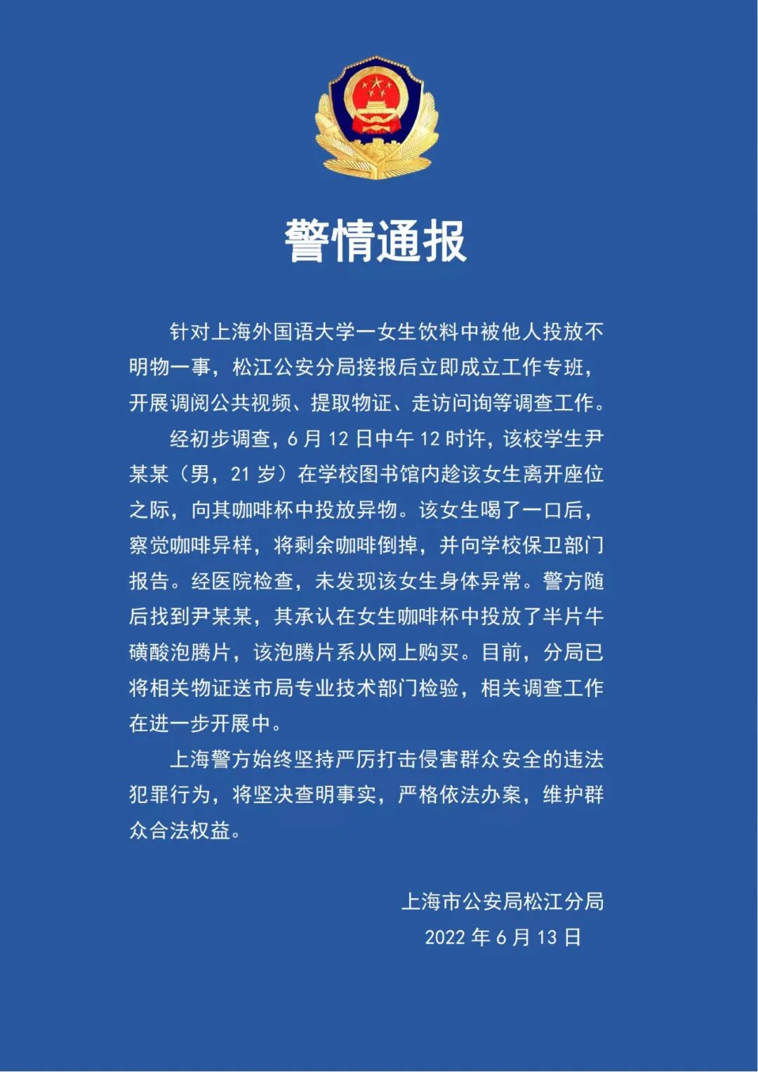
Earlier reports:Shanghai University of Foreign Languages notified a student coffee...