Two subways meet, and the announcement of the planning optimization of the Golden West District
Author:Guangzhou Daily Time:2022.08.12
On August 12, the control of the control of the Golden West District of Baiyun Lake Digital Science and Technology City was optimized for the publicity opinion on the Municipal Planning and Natural Resources Bureau website. It is proposed that in order to further promote the high -quality development of the Pearl River coast, revitalize the low -efficiency land of stocks, optimize the industrial structure, improve the quality of public services, build a modern urban area with "ecological livability, prosperity of industries, effective governance, good order, and rich life". This time, the detailed planning and optimization of the Golden West District of Baiyun Lake Digital Science and Technology City.
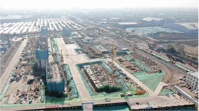
The project is located on Shimen Street, Baiyun District, the west to the Pearl River West, the east to the Guangqing Expressway, the south to the Nankou South Avenue and the Guangfo Zhao Expressway, and the Liuxi River in the north. The planning range is about 365 hectares (5475 acres), involving AB2301 and AB2302 planning management units.

Drawing the planning diagram of planning
In terms of the nature of land use, the main land use functions are mainly optimized from residential land, freight transportation land, and park green space to commercial and commercial land, residential land, and park green space (agricultural and forestry land). Plan the spatial structure of "one heart, two axes, four districts". Within the scope of planning and optimization, along the Liuxi River is mainly the park green space (agricultural and forestry land), the central and western regions are mainly commercial and commercial land, and the east is mainly commercial and commercial land and residential land.
The total land area of the planning plan is about 365 hectares, of which: the commercial and commercial land is adjusted from 6.64 hectares to 53.28 hectares; the land for residential land (including village construction land) is adjusted from 49.54 hectares to 14.59 hectares; 83.59 hectares; the land for public services and public facilities was adjusted from 12.67 hectares to 11.14 hectares; roads and transportation facilities were adjusted from 87.76 hectares to 83.33 hectares; Freight and transportation land.
In terms of roads, the planned road structure formed the "three horizontal and five verticals". The road density increased from 6.63 km/square kilometers to 8.28 km/square kilometers to meet the requirements of various levels of road density specifications. In addition, the planning diagram shows that the planned subway line 34 and Metro Line 29 are intertwined in the center of the area, reserving two golden fences for the intersection of subway lines.
Wen, Tu/Guangzhou Daily · Xinhua City Reporter: Du Juan Guangzhou Daily · Xinhua City Editor: Wu Yizhen
- END -
A total investment of 2 billion yuan!The foundation of the zero -carbon headquarters base project of Meijin, the "two parks, one school, one city, one city, one city, one city, one city, one school, one school, one school, one school, one school, one
The reporter learned from the Qingxu County government department of Taiyuan City ...
Poster | Xuanyuan Hometown, Kang Yangfu Land -Mu Man Wrestling
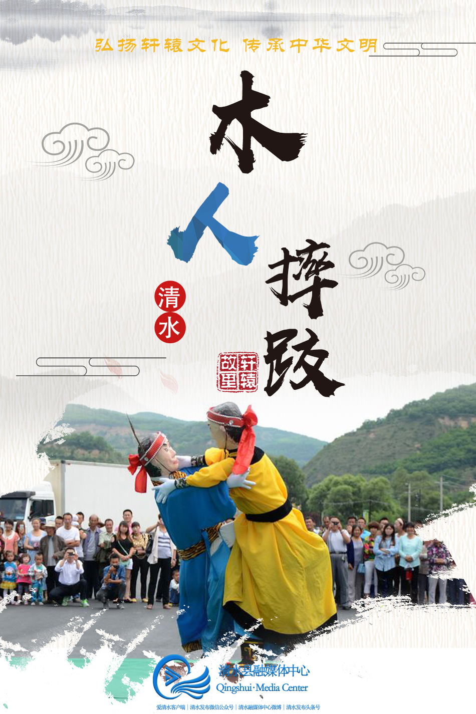
The wrestling of Qingshui Mi is a folk folk competition project produced, circulat...