Ningbo, Zhejiang: This year's high temperature comprehensive intensity may be the strongest since the record
Author:Ningbo Evening News Time:2022.08.16
Early in the morning on August 15th, Hailishu District, Jiangbei District, Zhenhai District, Zhezhou District, Fenghua District, Yuyao City, and Cixi City issued high -temperature red warning signals. Beilun District, Ninghai County, and Xiangshan County issued high -temperature orange warning signals.
From the current weather situation, high temperature and heat will continue until late this month.
Multiple data is "the most in the same period"
Since June 26 this year, there have been three rounds of large -scale, continuous high temperature weather in Ningbo City, namely: the first round, July 5th to 17th, the second round of July 20th to 28th, the third round, the third, the third, and the third. The wheel will continue from July 31 to the present, and the high temperature and heat extremes will be significant.
Among them, from July 5th to August 14th, the city's high -temperature comprehensive intensity was the strongest since Ningbo had a meteorological record. During this period, the extreme high temperatures in various places reached 40 ° C or more, with the highest Yuyao 41.6 ° C (July 12).
On July 9th, Xiangshan, July 10th (Haishu, Jiangbei, and Lizhou, represented by the Dazhou National Meteorological Station, the same below), Fenghua, Yuyao and Cixi and other places The above time is the second morning since the meteorological records (the earliest July 5, 2005).
The heat above 40 ° C is concentrated from July 10th to 15th, July 20th to 23rd, and August 10th to 13th. Yuyao.
In addition, the high temperature above 38 ° C for the longest 11 consecutive days, and Yuyao, which appeared from August 4th to 14th.
From July 5th to August 14th, the number of high temperature days (the maximum temperature of 35 ° C, the same below) an average of 34.4 days, the most historical period (14.2 days per year); each district (county, city) from 32 to 38 days to 38 days Among them, urban areas, Zhenhai, Beilun, Fenghua, Ninghai, and Xiangshan have all the same period since the meteorological records.
From July 5th to August 14th, the city's average maximum temperature was 37.2 ° C, which was 3.7 ° C higher than the same period of the year. The second highest in the same period (up to 31.6 ° C in 2007) since the meteorological record.
The precipitation is extremely small, and the drought of meteorological drought continues to develop
Since the plum, the precipitation has been abnormally too small. The average precipitation in the city is 102.5 mm, which is 65.8%less than the same period of the same year (300.1 mm per year); the district (county, city) is 4-80%, and Ninghai is at least in the same period since the meteorological records. Zhenhai and Fenghua are the second youngest since the meteorological record. There was a light to moderate meteorological drought in our city, and severe weather droughts in some areas in the south.
Strong convection weather frequently reappears
Since the plum, the city has appeared in the city for 28 days. Among them, the city has a large -scale strong convection in the city 9 days, and hail of different areas appears in 4 days (July 12, July 26, July 27, and August On the 6th), 3 days of thunderstorms appeared at level 12 or more (July 12th, Luzhou City, July 17, Fenghua Lake, and Beilun Daxie on July 26).
No typhoon directly affects our city
Since the beginning of this year, 8 typhoons are generated in the Northwest Pacific and the South China Sea, which is one less than the same period (9) from the same year. Among them, 2 of them landed on the coast of South China. Three of the east of the East China Sea went north. There is no direct influence on land.
Trend forecast
Our city continues to maintain high temperature and rainy weather
This summer, the high -pressure range of the northern hemisphere has a strong and strong intensity, resulting in the continuous high temperature in Jiangnan to Jianghuai in my country. Since August, Eurasia's high latitude has formed a two -spine and one -groove circulation type, affecting my country's cold air position north. It is expected that this weather situation will be stable for a period of time, and our city will continue to maintain a climate background of high temperature and rain.
Since the La Nina incident in August 2020, the equatorial Middle East Pacific has continued to maintain cold water positions. It is expected that La Nina will continue in the later period, and it may develop again in autumn and enter the third year of Lamanina.
The third round of high temperature is hot hot
It will continue
At present, the city is still in the third round of high temperature and hot heat. It is expected that the process of this round will continue until mid-August. Most of the time, the maximum temperature of 36 ℃ -39 ° C is 36 ° C. In the future, the number of high temperature days (counties, cities) in each district (county, city) will be more than 10 days. It is expected that the number of high temperatures for the whole year can reach more than 45 days. powerful.
From August 16th to 17th, 20th to 21st, there will be thunderstorms in some areas in the afternoon, and there may be strong convective weather such as Land 8-10 Level 8-10 Levels-10 thunderstorms, short-term heavy precipitation, and strong thunderstorms.
Drought, typhoon staged
Risk
It is expected that in the late flood season, the city's temperature is high, the distribution of precipitation and time and space is unevenly distributed, and the risks of drought and typhoon are large.
It is expected that in the late flood season, precipitation is close to perennial year, but the distribution of time and space is uneven, and there are more and more. It is expected that 2-3 typhoons affect our city, which may have one-2 more serious impacts. Since 1951, the Lamina incident has been four consecutive years, and in the third year (that is, 1956, 1975, 1985, and 2000), the city has a typhoon influence but a little late.
In addition, in the summer and autumn conversion season, strong streaming weather such as strong thunderstorms, short -term rainstorms, thunderstorms, and hail are still prone to.
Reporter Shi Chengcheng Correspondent Ding Yiyi
- END -
Don't sit in the massage chair of the mall, it's terrible!

Have you ever encountered this thing in shopping malls, high -speed rail stations,...
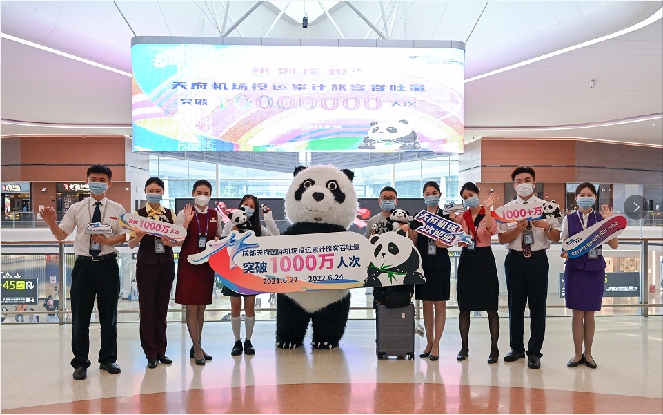
In the first anniversary of the investment in Chengdu Tianfu International Airport, a total of 10 million passenger throughput exceeded 10 million people
On June 24, when the first anniversary of the investment in Chengdu Tianfu Interna...