The standard map of 2022 is here!
Author:Gansu daily Time:2022.08.30

On the occasion of the National Surveying and Mapping Law Publicity Day, the Ministry of Natural Resources officially released the 2022 version of the standard map.
August 29 this year is the 19th National Surveying and Mapping Law Publicity Day. On the day, based on the theme of "standardizing the use of maps, not wrong at all", the Ministry of Natural Resources held the 2022 National Surveying and Mapping Law Publicity Day and the National Figure Conscious Propaganda Activity Week. The 2022 version of the standard map and reference map was released on the spot, with a total of 646. Among them, 20 standard maps, including 6 Chinese maps in China, 14 Chinese maps of Chinese maps, and reference to 626 maps. Relevant experts from the Ministry of Natural Resources explained the requirements for public map review and use in detail, and taught relevant knowledge such as surveying and mapping method, national territory knowledge and geographical information security.
As of now, the standard map service system of the Ministry of Natural Resources can provide 359 standard maps, 4 sets of self -aid map bottom maps, and 803 reference maps. Standard map services have been opened in all provincial -level regions, providing a total of 9860 standard maps, and a total of 11022 standard maps and reference maps are provided across the country.
According to reports, the reference map is provided by local natural resource authorities based on the systemicity, practicality, and current characteristics of the map content and is included in the standard map service system. Users can browse and download standard maps for free through the website of the Ministry of Natural Resources and the national geographical information public service platform "Sky Map", and download a personalized map online.
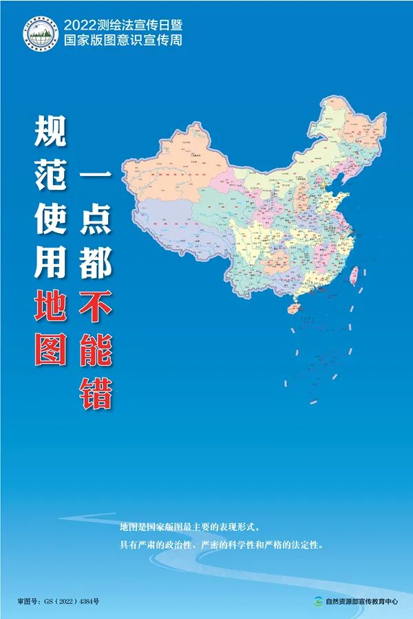
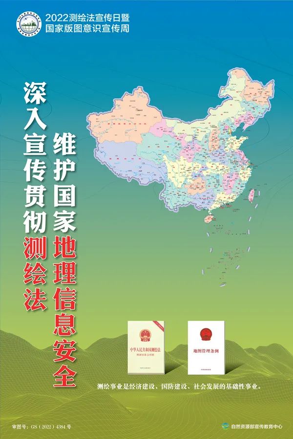
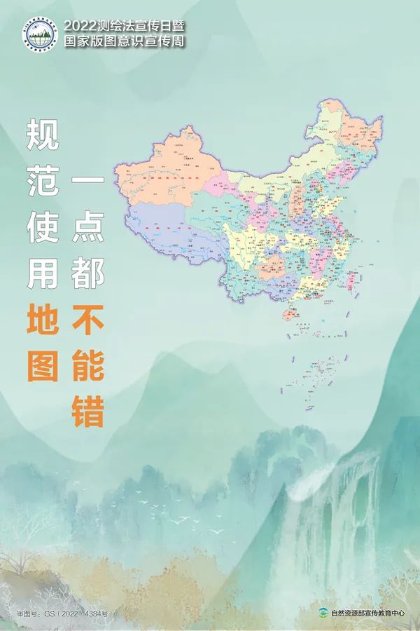
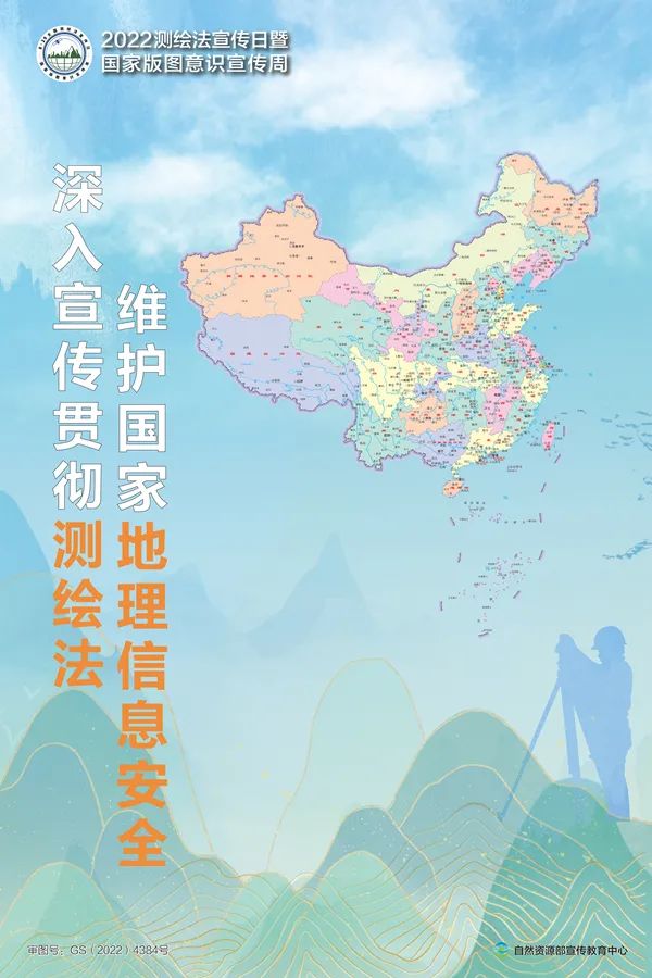
The national territory is a territory of a state exercising sovereignty and jurisdiction, and a symbol of national sovereignty and territorial integrity. The map is the most important manifestation of the national territory, reflects the scope of the country's sovereignty, and has serious political, strict scientificity and strict statutory.
At the event site, the launching ceremony of the National Layout Knowledge Contest was held. The competition will popularize the knowledge of maps, geography and natural resources through rich content and participation answers, and stimulate the love of young people for the motherland. In recent years, the Ministry of Natural Resources has continued to organize the national territory awareness of "three entrances" (entering the school, entering the community, and the media) activities.
Source: Xinhua News Agency

Editor in charge: Yu Shuai
Supervisor: Mu so strong
- END -
"Digital Village" Cloud Platform Guardian and Children's Ping An

On June 13th, Yang Guofang, secretary of the Party branch of Xingfeng Village, Gua...
Olutai County Aksa Lailang: Epidemium prevention and control me first volunteer service to warm people's hearts

(Wu Na) Since the start of the epidemic prevention and control work, the volunteer...