The material testing team of the Shandong Coal Field Geological Bureau actively undertakes public welfare functions to complete the land investigation and surveying and mapping tasks
Author:Qilu.com Time:2022.06.25
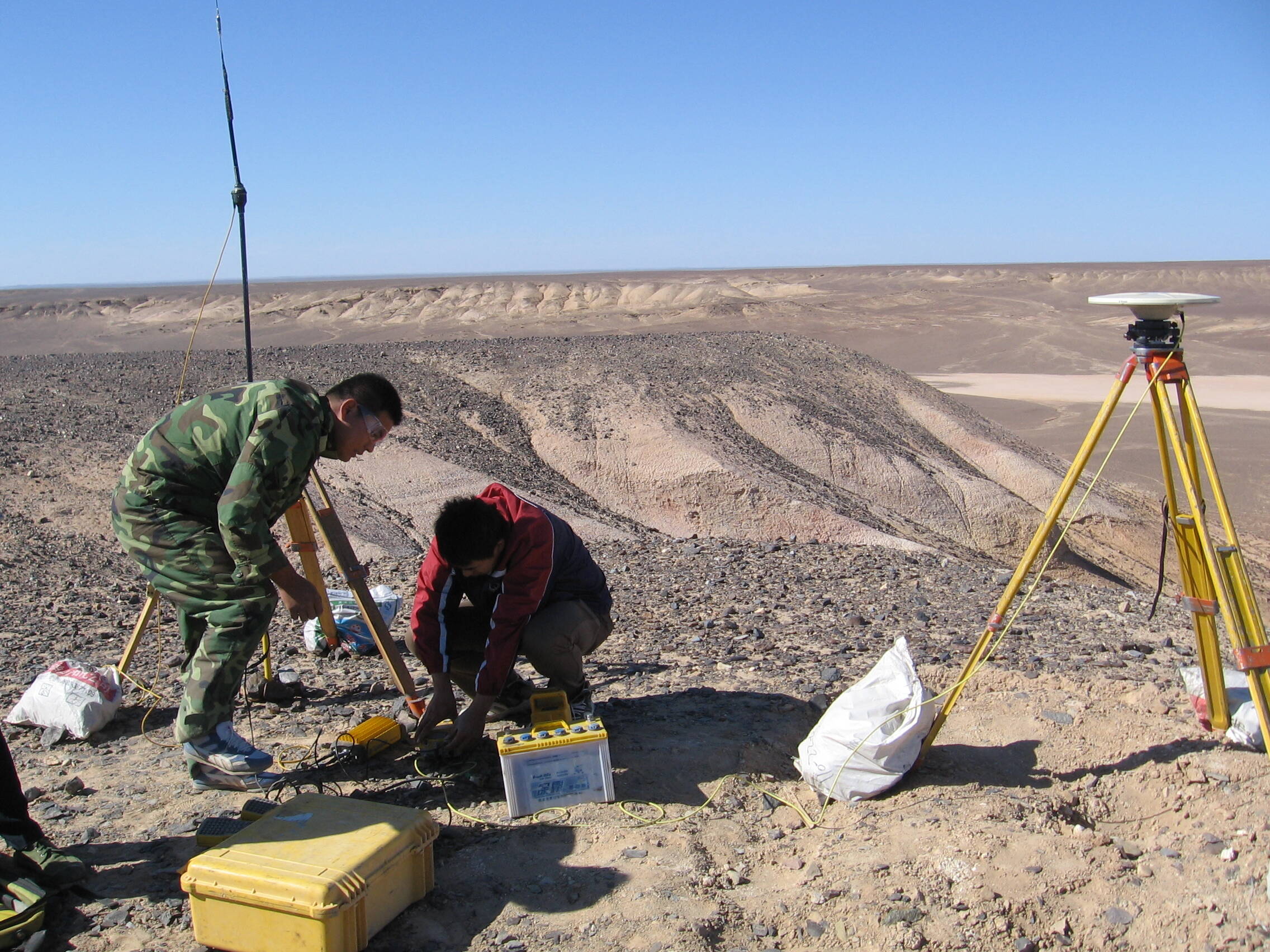
On June 24th, Shandong Provincial Coalfield Geological Bureau's physical testing team summarized experience and actively improved the level of public welfare functions. As the first batch of geological teams in the nationwide-level qualifications of surveying and mapping, the team has successively undertaken the collection of basic geographical provincial conditions monitoring data in Shandong Province from 2017 to 2020, basic surveying and mapping in the first half of 2020, the third national land survey, and real estate Basic, public welfare surveying and mapping projects such as integration. He has entered Tai'an, Weihai, Texas, Binzhou, Dongying and other counties and cities to carry out the monitoring tasks of geographical national conditions in Shandong Province, with a monitoring area of 55,000 square kilometers. Among them, Zouping County's monitoring tasks passed the national inspection in the detailed investigation of Shandong Province.
According to the key tasks determined by the "Thirteenth Five -Year Plan" and "Fourteenth Five -Year Plan" of Shandong Province, the basic surveying and mapping work of Jining, Linyi, Heze, Zaozhuang, Tai'an, Weifang and other regions have been undertaken to provide accuracy Detailed basic data set up land use databases for Liaocheng, Weifang, Zibo, Weihai and other places to help them realize the grid and digitalization of land planning and geographic information management. It has made positive contributions to the high -quality development of geographical information in the province.
The team also established a cluster room for surveying and mapping technology, marking that the team has a full process operation capabilities of drone tilting photography from foreign drones to internal industry collection and processing. Through the fusion of drone tilting photography with BIM modeling and deep integration, it is committed to developing deeper real -level real -view three -dimensional modeling and BIM, creating a real three -dimensional three -dimensional three -dimensional three -dimensional three -dimensional three -dimensional three -dimensional three -dimensional three -dimensional three -dimensional measurement of drone tilt photography measurement measurement. Operation and maintenance system.
Correspondent Wang Jing
- END -
The Haidian District Archives has completed the digitalization of 700,000 marriage archives
The reporter was informed that on June 20, the Hainan Provincial Archives and the Haidian District Archives Minsheng Archives Cross -Museum Different Land Use Service Work was signed, marking the fu
Start today!In Rizhao!

BleakOn the morning of June 18th, the first Shandong Forest Culture Week with the ...