Remote sensing satellite application National Engineering Research Center was established
Author:Guangming Daily client Time:2022.09.27
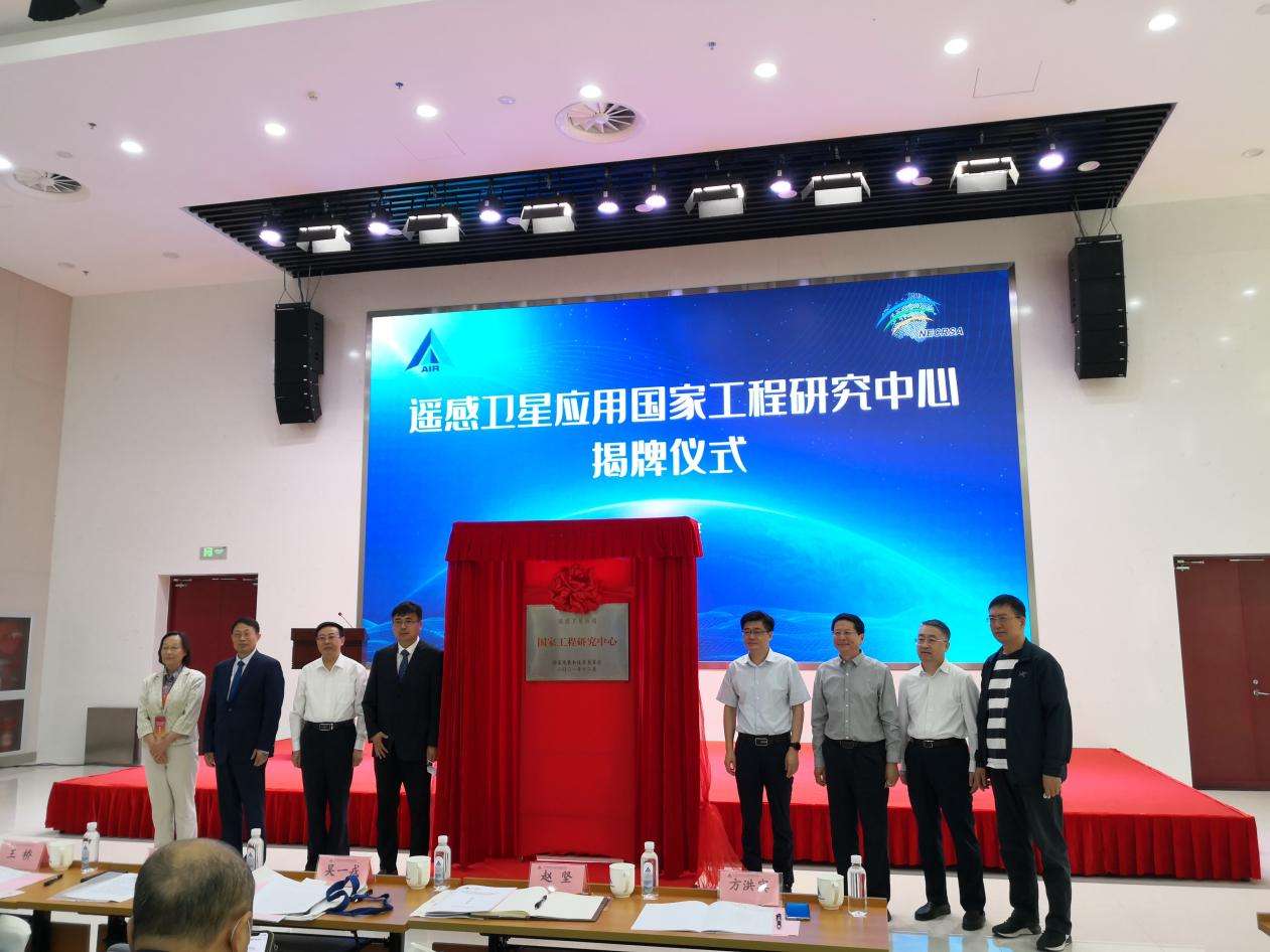
On September 27, the National Engineering Research Center of the Remote Sensing Satellite Application was formally established in Beijing. Relying on the construction of the Chinese Academy of Sciences Institute of Information Innovation Research, the center is the only national engineering research center in the field of remote sensing science and technology in my country. Bridge of remote sensing technology innovation and industrial development.
Satellite remote sensing technology can not only serve the national economy and social development, but also serve the lives of the people, which has become an indispensable means for economic and social development. At present, my country has launched hundreds of remote sensing satellites, and the application of remote sensing data is becoming more and more extensive.
"Between hundreds of remote sensing satellites and thousands of remote sensing applications, there is an intermediate link that is essential but easy to ignore, which is to provide common products and common technologies for support services for remote sensing applications." Remote sensing satellite application national projects Gu Xingfa, director of the Research Center and researcher at the Institute of Empty Information Innovation of the Chinese Academy of Sciences, pointed out that a large number of users are facing many common problems in terms of technical processing, product processing and information analysis of remote sensing data. Common products and common technologies such as common products are remote sensing data to realize business applications. The basics. "But at present, the support services of common products and common technology support services are serious."
Gu Xingfa said that in order to protect the satellite data of the national civil space infrastructure plan "one -star multi -purpose, multi -star network", "efficient use of resources" and other requirements, the remote sensing satellite application National Engineering Research Center is investigating and analyzing more than 140 satellites in 21 industry ministries and commissions Based on the demand of remote sensing application business, a common product and common technical system of vacant remote sensing applications are designed, which will be shared by the needs of basic, general information products and related technical tools to reduce users with demand through the network platform, and reduce users of all levels. Application technology threshold to improve the standardization and quantitative accuracy of vacant data products.
It is understood that the remote sensing satellite application of the National Engineering Laboratory, which was approved by the National Development and Reform Commission approved by the National Development and Reform Commission in 2008. After more than ten years of construction and development, the laboratory has established the remote sensing satellite application technology chain and verification platform from satellite data reception, processing, product development to sharing services. The system improves the breadth, depth and benefits of my country's remote sensing satellite applications, especially in recent years. In the past, the central and long-term development plan (2015-2025) in the national civil space infrastructure, the major special projects of high-resolution ground observation systems, pre-research on civil aerospace, and the first national remote sensing satellite government and social capital cooperation projects in my country The demonstration and construction of satellite plan tasks have made outstanding contributions.
The National Engineering Research Center of remote sensing satellites is an important part of the national innovation system. Its mission is to serve the major strategic tasks of the country and implement the national major satellite application engineering. Key issues of high -quality large -scale application, build a platform for engineering and technical achievements for remote sensing application engineering and technical achievements; by building a bridge for remote sensing technology innovation and industrial development, cultivate engineering technology innovation talents, promote digitalization and digital industrialization of industries, and be a high -quality economic development Provide new kinetic energy.
On the same day, the National Engineering Research Center of the remote sensing satellite application issued the "National Civil Space Infrastructure Infrastructure Land Observation Satellite Communist Application Support Platform". According to Zhou Xiang, executive deputy director of the National Engineering Research Center and researcher of the Sky Academy of the National Engineering Research Center of the Remote Sensing Satellite Application, the platform is for satellite remote sensing applications for common and basic service needs, providing space information product quality inspection and quality assurance capabilities, improving the refined application of remote sensing satellite applications The level of quantitativeization is an important part of the national civil space infrastructure.
After 4 years of construction and implementation, the platform has achieved the first achievements. For the first time, the platform builds the network system covering the nationwide, remote sensing full elements, and the largest remote sensing common product authenticity inspection station network system. Common technical services to support the accelerated development of comprehensive applications and industries in various fields.
The platform has built an optical/microwave satellite authenticity test station network operated by 48 sites across the country; the joint test and inspection technical capabilities of 6 comprehensive experimental fields are formed; 6 types of 24 types of common information products are inspected and simulated analysis capabilities, as well as 6 categories of common key technologies, such as image correction, information extraction, quantitative countermeasures, test evaluation, distribution services, and standards; 140; support technical training and resource sharing of user departments in more than 13 industries and regional user departments; joint trials of industry departments can be conducted more than 4 times a year to provide synchronous observations, model algorithms, product inspection, simulation data, real values for comprehensive applications in various fields Data, communication platforms and other business -based multi -level sharing services. The corresponding results can be widely used in ecological environment, agricultural and rural, natural resources, disaster reduction and other countries.
In addition, the National Engineering Research Center of Remote Sensing Satellite Application also announced a strategic plan for the construction of application and industrial development bases.Development bases, digital Yellow River applications and industrial development bases, Yangtze River great protection applications and industrial development bases, promote the transformation of the technological achievements of remote sensing satellite applications and the establishment of the industry -university -research model to better serve the national strategy and the development of the digital economy.(Chen Haibo, all media reporter of Guangming Daily)
- END -
my country's third aircraft carrier launch!Name "Fujian Ship"

The third aircraft carrier naming ceremony in China was held on the morning of the...
pay tribute!After his unfortunate death, he continued the life of 3 people ...

Text, pictures | Xu Xiangping, Wu Fang, Zheng JialanOn the evening of July 4th, at ...