Notice!"Xuan Lannuo" entered the East China Sea tonight, and the strongest wind and rain is about to attack!
Author:Shanghai Songjiang Time:2022.09.03

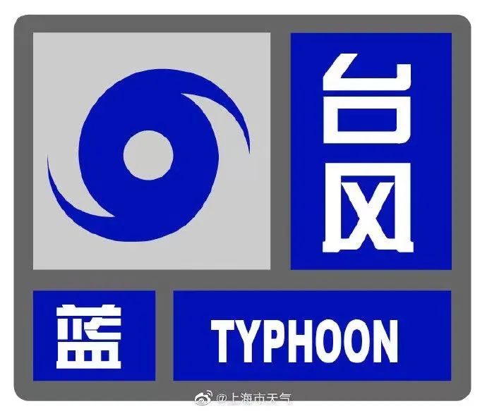
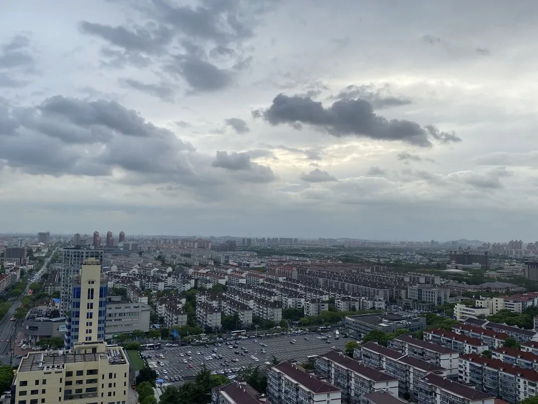
At 18:20, September 03, 2022, the Meteorological Observatory of Songjiang District, Shanghai issued a typhoon blue warning signal: affected by the typhoon "Xuan Lannuo", it is expected to have the largest land in this area of 6-7 and level 7-9 along the river. Please pay attention to prevention.
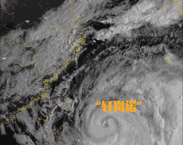
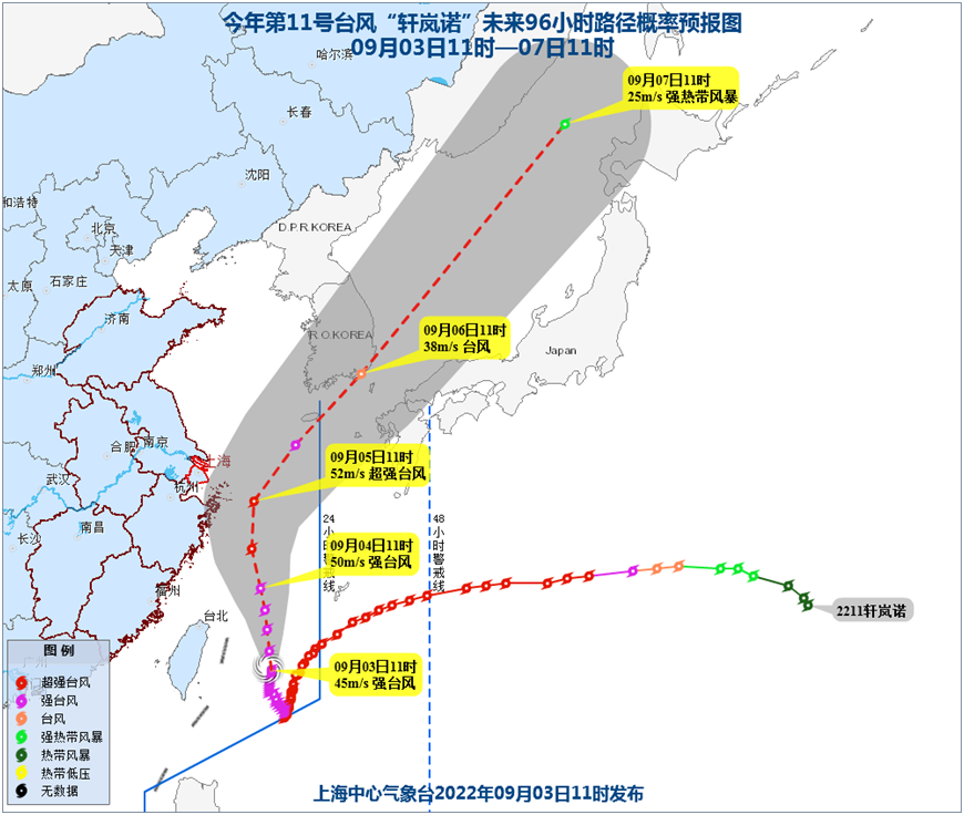
Typhoon No. 11 this year, "Xuan Lannuo" today at 17:00 on the ocean surface of 873 kilometers southeast of Shanghai (24.0 degrees north latitude and 124.8 degrees east longitude). The central air pressure is 950 hundred Pache, and the maximum wind power of the near center is 14 levels (45 meters/second). The intensity maintains a strong typhoon level.
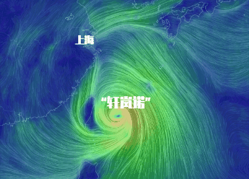
The Typhoon Center is currently moving north at a speed of 10-15 kilometers per hour, and its intensity is gradually increasing. It is expected that the typhoon to move into the southern sea of the East China Sea today may develop again into a super typhoon level and gradually approach the coast of the northeast of Zhejiang; the 4th day from the 4th to the morning of the 5th will move to the northeast. Crossing the latitude of Shanghai; then towards the coast of the southern Korean peninsula to the southern part of the Korean Peninsula.
Affected by "Xuan Lannuo", today, Songjiang wind power is 4-5, level 6, level 5 along the river, and gusts 6-7. From tomorrow afternoon, the wind will increase, with a maximum gust of 7-9; the main precipitation period will be during the day from tomorrow to 5th. The process of rainfall is expected to be 30-50 mm. From the 6th, "Xuan Lannuo" had a significant impact on the wind and rain of Songjiang.
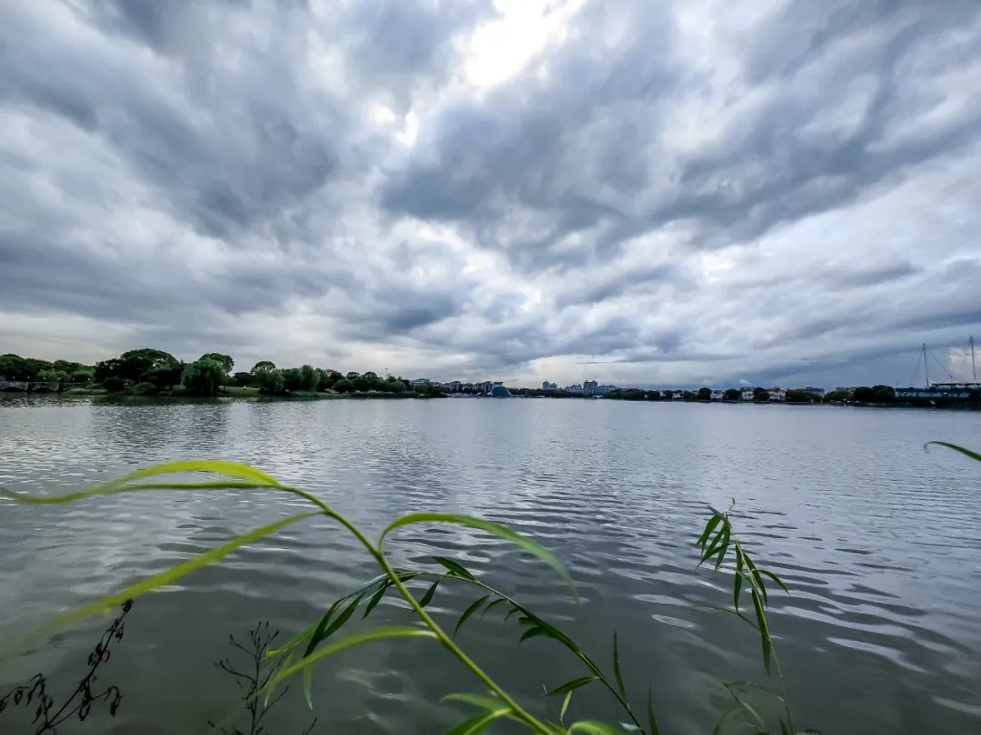

The Songjiang Meteorological Department reminded that "Xuanlan Nuo" has a strong intensity and complicated path. Please pay close attention to its dynamics and the impact on the wind and rain of Songjiang.
Kind tips
1. This typhoon affects the process for a long time. Related water operations and past ships should return to Hong Kong to avoid wind, strengthen port facilities, and prevent the ship's anchor, stranding and collision. 2. Please pay attention to prevent heavy winds, timely reinforcement or demolition of the buildings that are easily blown by the wind. Pay attention to the effects of strong wind on nucleic acid pavilions, billboards, construction sites, facilities and agriculture, etc., pay attention to the impact of trees and its damage to power facilities. 3. Precipitation may lead to urban waterlogging. Please do a good job of drainage early to avoid stagnant water. 4. Pay attention to the impact of wind and rain during work on the 5th in time.
Text: Guikexin Shanghai Early Warning Release
Photo: Gui Kexin's on behalf of Shanghai released
Edit: Shen Lina Xu Ping Yang Lu
- END -
The public security traffic management department will continue to purify the traffic environment around the campus

Xinhua News Agency, Beijing, August 25 (Reporter Ren Qinqin) The autumn school is ...
If you feel tired, come in and see | Low price consultation

What will you do when you feel tired? If it is physical fatigue and discomfort, we...