Meteorological expert: "Plum Blossoms" will end up in Zhejiang's influence, which will follow "Nanma Capital"
Author:Zhejiang Daily Time:2022.09.15
Zhejiang News Client reporter Wang Keyu

Yesterday (September 14), the strong typhoon "Plum Blossom" landed in Shenjiamen, Putuo District, Putuo, Zhoushan, and then went north to Zhejiang. According to the Zhejiang Meteorological Observatory, today (September 15), the sea of the northern part of Zhejiang was 8, and weakened to level 7 in the afternoon; there was small rain in the northern part of northern Zhejiang. In the next 7 days, most of the provinces are mainly cloudy, and the temperature will rise first and then fall.
"This means that the impact of" Plum Blossom "on our province is ending today," said Mao Yanjun, senior engineer of the Provincial Climate Center.
Beginning with a tropical storm on September 8th, "plum blossoms" have been attacking north and continued to grow. According to the Central Meteorological Observatory, the "Plum Blossoms" will be "plum blossoms" tonight.
Usually, the average life of a tropical cyclone is about a week. The "plum blossom" has been swaying at sea for more than a week, and it continues to go north. Why is the vitality so strong? Mao Yanjun analyzed that "plum blossoms" can stand still, and "energy" is the main factor.
"First of all, after it was generated on the east of the eastern Philippines, the sea temperature passed by the sea was relatively high, providing it with abundant energy. In addition, during the journey, the obstacles it encountered was relatively small, including the stay time after landing on Zhoushan to stay time. For short, the energy consumption is slow, which is equivalent to preserving 'physical strength'. "Mao Yanjun said.
As the strongest typhoon that has landed in our country since this year, the "plum blossoms" with strong storms let everyone see the power of typhoon autumn. However, compared with the autumn platform in previous years, "plum blossoms" also have their own personality on the movement path.
In the past, typhoons landed in our province were mostly located in Wenzhou and Taizhou. The location was relatively south. This time, it was rare to land on Zhoushan and affect the north. Mao Yanjun said that this is mainly related to the location of the subtropical high pressure. This year, due to the east of the high -pressure position of the subtropical high -pressure, the peripheral air flow on the west side of the deputy Gao West guided the "plum blossom" to the north.
After entering September, the Pacific Ocean was relatively "lively", and the number of typhoons increased significantly. At present, after sending Typhoon No. 12 "Plum Blossom", Typhoon No. 13 "Miao Bai" has no impact on our province. Typhoon No. 14 "Nanma Du" has gradually increased. It is expected to enter the East China Sea around No. 18.
"It is expected that the movement path of 'Nanma's Metropolis" will not be as western as the "plum blossoms', but the coastal area of our province may be affected by the circulation of the typhoon. We will continue to pay attention in the next few days." Mao Yanjun said.
- END -
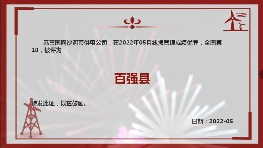
Hebei Shahe: Line loss management "Top 100" creation has achieved new breakthroughs
On July 18th, the SCO Shahe City's Power Supply Management Special Conference was ...
The general trend of governance of the waste is stimulated by the environmental protection.

Written: Teng XiaoEditor: Editorial Department of Cai CaixunSince its listing on J...