Rush directly in Japan!Super typhoons are destroyed or more than Villa 63 years ago
Author:Yutai Rong Media Time:2022.09.18
Xinhua News Agency, Tokyo, September 18th. Super Typhoon "Nanda Metropolis" approached Kagoshima Prefecture, Kyushi, Japan on the evening of the 17th. It is said that this will be the "dangerous typhoon that has never been experienced" in Kyushu.
The Typhoon Special Alert is the highest -level warning issued by the Japanese Meteorological Agency that the air pressure below 930 per Papa and the center's maximum wind speed exceeds 50 meters per second. The Meteorological Department also predicts that the entire Kyushu region may usher in a record gale, heavy rain or storm, and call on the public to take refuge measures as soon as possible.
Open the Typhoon Network of the Central Meteorological Observatory, a weird typhoon trajectory route is displayed on the map. In 2022, Typhoon No. 14 turned over a right -angled turn over the Kyushu Japan, turning along the four kingdoms and Honshu Island to the northeast. The impact caused by sweeping and login may be larger than one of the most destructive typhoon in Japan!

Nanma Du: From an early age to Super Typhoon
When the strong typhoon "plum blossom" was close to the coast of Zhejiang on September 14, Nanma had just been generated in the Western Pacific, but its development was very rapid. Even the author who often paid attention to the strong typhoon was slightly surprised:
September 14: 5 o'clock, wind speed 18 meters/second, level 8, central air pressure 998 Baipa, tropical storm;
September 14: 20 o'clock, wind speed of 28 meters/s, level 10, central air pressure 985 hundred Papa, strong tropical storm;
September 15th: 14 o'clock, wind speed of 33 meters/s, 12 levels, central air pressure 975 hundred Pache, typhoon;
September 16: 17 o'clock, the wind speed of 52 meters/second, 16 levels, the central air pressure is 935 hundred Pache, super typhoon;
September 17: 2 o'clock, wind speed of 58 meters/s, level 17, central air pressure 925 hundred Pache, super typhoon;
It has been upgraded from tropical storm to super typhoons for 2 days. Although this speed is slightly inferior to the perverts that upgrade to super typhoons within one day, it may still become the highest level to land in Japan in recent years. typhoon.

Nanma Du: Why is the upgrade so fast?
From the process of the upgrade of Nanda Mudu above, I do n’t know if everyone has noticed a data. As the wind speed increased, the central air pressure of Nanda Mudu declined sharply. Under normal circumstances Floating, but half of it will not be too big, but the air pressure will decrease before the typhoon comes, and the air pressure in the center of the typhoon can even be as low as 900 Papa!

Typhoon Taipei's path
The lowest air pressure in history was as low as 870 hundred Pache. In 1979, Typhoon Taipei (October 3 -October 22, 1979), the highest wind speed in the center was 305 km/h (85 meters/second), and it was nearly center. The lowest air pressure in the center is 870 hundred Pache. This air pressure and typhoon level are basically inverse. The lower the pressure, the larger the wind speed, the larger the wind speed!

The reason is also very simple. The typhoon was formed because of low pressure. Assuming the atmosphere is a balanced pressure system, and then the solar radiation to the sea surface, the large area of the ocean was very warm. At high altitude, the bottom air pressure drops, at this time there is still an atmospheric pressure around, so a large amount of atmosphere will come over.

As a result, a large -scale surrounding air flows to the center, but at this time, a decisive factor is needed, that is, the bias force of the earth's rotation (Korioli), which will make these flowing air flow to the center start rotating, and then then The warm ocean face that forms a tropical cyclone, and the warm ocean face that forms a typhoon will once again provide this water vapor convenience. Continue to enhance the typhoon. The warmer the ocean surface, the larger the typhoon level generated.

Of course, the above is only the principle of typhoon generation and strengthening. There are still many conditions to form a typhoon, such as the temperature of the sea surface and the depth of warm sea water, forming the latitude of the typhoon. Generally, between 10 ° ~ 30 ° north -south latitude Zero cannot generate typhoons, while high latitudes of the sea water are not enough, but the temperate zone also has temperate cyclones, which are similar to typhoons. However, this is completely different from the principle of typhoons. This article is not nonsense.

Typhoon Wind Eye
Namma will be available on September 18 tomorrow. You should be familiar with this day, and it will continue to be strengthened on September 17th. It does not rule out that it will continue to rise.
Nanma Du: Sweeping Japan, I may surpass the Typhoon Villa
From the meteorological cloud map, it can be seen that Nanma has stirred the large area of water vapor on the Pacific Ocean in the northwest. From the Philippine coast to the coast of Japan, it has affected the atmospheric circulation of the entire West and East Asia:

Its scale is much larger than the typhoon "plum" landing on Zhoushan on September 14. Even the slightly smaller "plum blossoms" brought astronomical precipitation along the road! After the sun from June to August, the seas that Nanma's capital has passed from June to August has passed for more than half a month. Quite a rare level.

High water temperature
Nowadays, the water vapor around 25 ° north latitude is rotating crazy, and it is approaching the Japanese islands. The future line prediction will make the Japanese people shock. From the forecast line, it actually wants to cross the horizontal horizontal horizontal line. Go through Japan!
Japan Meteorological Agency: The windy eyes are clear, which is a very terrible typhoon
On September 17th, the Japanese Meteorological Agency, which was sent to the enemy, sent an aircraft to fly over Typhoon Nanma. The latest data observed showed that Nanma has been strengthening from September 16th to 17th. It's like a black hole, clear to terrible! The air pressure in the eyes of the typhoon center is declining sharply. From 925 hundred Papa the previous day, to the 914 hundred Papa measured by the meteorological observation aircraft on September 17, which means that the wind speed of Nanda Mudu is still possibly of enhancement. It is a pity that the plane of the Japanese Meteorological Agency just flew over the typhoon, so that everyone could not appreciate the style of Nanma's windy eyes

Nanma affects Japan: wind speed? What is even more terrible is precipitation
Japan's land area is small, most of which are mountains, and the surroundings are ocean, typhoon transit, and the biggest influence is two. The first impact is the super strong wind speed, which will bring storm waves, bays and port fishing boats on the coast. And a large number of buildings near the coastline may be destroyed. The other is the precipitation of astronomical numbers. The terrain of Japan can easily cause the outbreak of floods and mudslides. In addition Of!
Japanese topography

Typhoon Vera: Typhoon, the most died in Japanese history
On September 21, 1959, Vera was generated between the waters between the Guam and the Federal Church of Mikonia. After the formation, it was rapidly enhanced to super typhoons. On September 23, the reconnaissance aircraft sent by the U.S. Army and the Typhoon Alert Center was in Vana The wind speed of 305 kilometers/h was measured near the center, as low as 896 Baipa's low pressure, which indicates that Typhoon Vera has reached a fairly terrifying level.
Typhoon Vera damage to the seawall

On September 26, Typhoon Vera landed near Yanzasaki, Honshu. The huge number of typhoon clouds brought a strong precipitation near the landing site. Before the landed landed, the flood disaster was caused. The strong storm of the coming destroyed a large number of flood control systems along the coast. The ships at the port were destroyed, and even the houses far away from the shore were crushed by huge waves. The total loss caused by VERA reached 600 million US dollars (equivalent to 5.58 billion US dollars in 2021, which To.
Typhoon Vera's destruction to Handa

In addition to economic losses, Vera also killed more than 5,000 people, 39,000 people were injured, and 1.5 million people were homeless. This is one of the most deadly typhoons in Japanese history. The Passing of the Basic Law, this law later became the standard for disaster relief in Japan, and the Central Disaster Prevention Committee was established at that time.
Vera's path was to enter the Japan Sea briefly after passing through the Island of Honshu. After turning around, she returned to and passed through the Island of Honshu. Eventually, she entered the Pacific Ocean near Aomori Prefecture in the northeast of Honshu. The impact on Japan was over! Compared with Villa's path, the route of Nandaldu is more scary than Vera.

Because it will pass through Japan from west to east on the longest route, passing Kumamoto and Fukuoka, and then to Hiroshima, Oka, Kobe and Osaka, Kyoto, Nagoya, Tokyo, and Uami Palace. In the main producing area, if the route prediction is roughly correct, the loss may be far exceeding Vera in 1959.

Haibei's destruction to Japan

Some friends may think of Haei Sisi, which has a great influence on Japan in 2019 (caused 88 Japanese deaths, 7 disappearances, and more than 300 injuries), but Haibi Sisi, whether it is the level of the center (42 meters/ 42 meters/ 42 meters/ ) Alternatively (only about 400 kilometers in eastern Japan) can not be compared with Nanma.
Haibei's destruction to Japan

The author roughly estimates that Nanma will cross about 1,300 kilometers through Japan's land. The typhoon mainly affects about 2/3 of the land area of Japan. This typhoon is to send Japan back to my uncle's house!
Coincidentally, according to the forecast of major meteorological centers in the world, Nanda is most likely to land on Kyushu Island in southwestern Japan on the night of September 18. Therefore, many friends have ridiculed this typhoon time. Of course, we still have to still have I wish the Japanese people be safe under this rare typhoon attack.

- END -
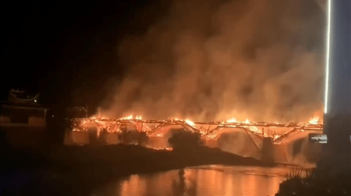
Behind the lack of fire in China: Traditional fire protection methods have been difficult to apply for the protection of ancient wooden buildings
Jimu Journalist Ding PengVideo editing Ma Xingxiang
Ling Yun led the team to Fujian Province to carry out "dual -handed and dual quotes"

On July 21, Ling Yun, the secretary of the municipal party committee, led the team...